top of page
MASON DIXON LINE
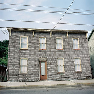
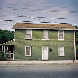
The Mason–Dixon Line (2006) The line is a demarcation line between four U.S. states, forming part of the borders of Pennsylvania, Maryland, Delaware, and West Virginia. During the Civil War it became known as the border between the free (Northern) states and the slave (Southern) states. It is still used today in the figurative sense of a line that separates the North and South politically and socially.
I travelled along the line, meeting and talking with people while exploring landscapes and towns during 4th of July weekend, 2005.
The series was exhibited at Pavilion, Round Foundry, Leeds (2006)


bottom of page